We have a huge list of product updates to wrap up this busy month of April! This month, we're excited to unveil updates that transform the way you map and navigate spaces. From enhanced visitor experiences to powerful developer tools, see how these latest updates can elevate your mapping projects to the next level.
Create smoother, more intuitive visitor experiences
Better profile cards, better branding
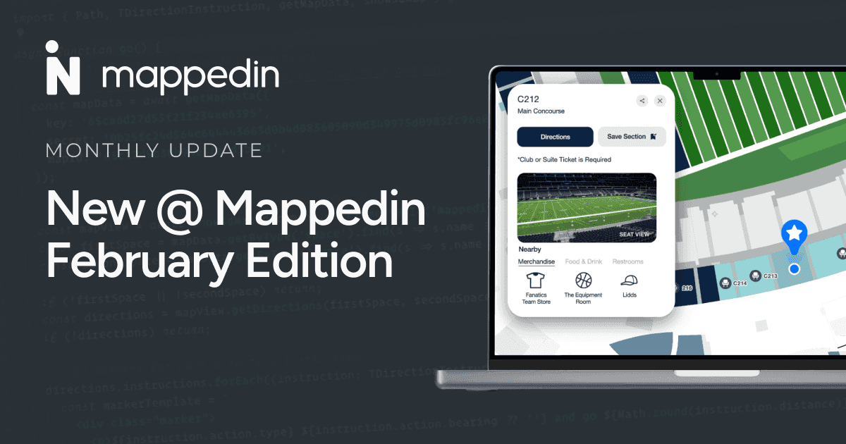
Profile cards now support images up to 80px wide and accommodate rectangular logos—no more awkward cropping or squishing! While a simple improvement, it creates cleaner branding that looks professional and preserves a location’s visual identity exactly as intended.
Stay level for more natural navigation
Visitors now stay on their current floor level when switching between different buildings—making navigation feel more natural and intuitive. No more disorienting jumps between floors and buildings!

Get important directory information at a glance
The Mappedin Directory flight information screen got a makeover focused on what travelers actually need—showing flights within the next 90 minutes, including terminal numbers, time to departure/arrival, and city codes. This more scannable, interactive design is all about helping passengers find info faster without searching and reducing stress while getting to their gate on time.

Enhance mapmaking with new features
Make maps more useful
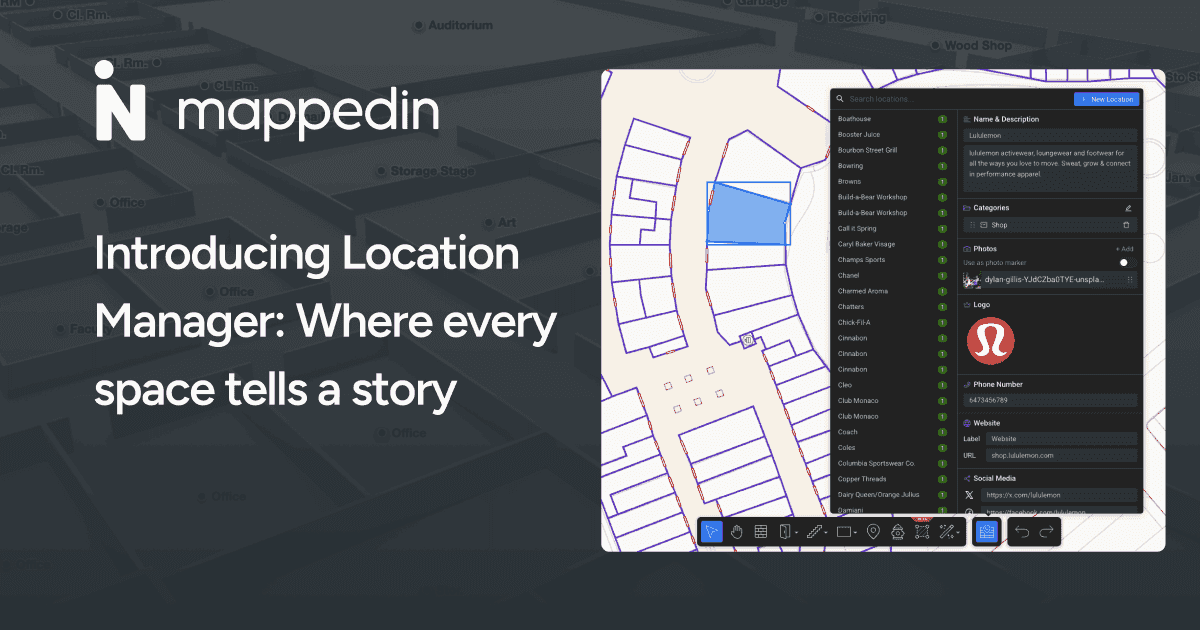
Location Manager allows you to add rich details such as names, descriptions, logos, images, links, and social media profiles to help define locations and bring them to life. Easily attach or detach locations to specific rooms, or apply the same info across multiple spaces.
Are you a developer or solution provider? Use the external ID field to connect map geometry with external systems to use with inventory management systems, reservation systems, and other external platforms. Try it today on the Plus subscription and dive in-depth into a recent blog about the Location Manager.

Align floor plans in seconds with AI
Were you frustrated with misaligned floor plans? Great news: Our AI-powered mapping now automatically aligns your uploaded floor plans after georeferencing—just upload, verify, and you're done! Eliminate tedious manual alignment work while maintaining accuracy, turning what was once a time-consuming process into a simple verification step.

Navigate seamlessly across multiple buildings
Whether visitors are indoors or outdoors, our maps and navigation ensure they’ll find the quickest and most efficient routes using both indoor corridors and outdoor paths—perfect for large campuses or multi-building complexes.
Tailor visitor journeys through any space
Visitor traffic flow management just got easier! Customize navigation settings to create routes that truly fit the needs of any space. Easily modify the direction of travel, door access, connection points, and priority pathways to manage how a visitor moves through any space.

Empower developers with dynamic tools
We're excited to unveil our latest Developer Tools, designed to make custom and engaging mapping experiences easier than ever. These pre-built tools in the Mappedin SDK empower developers to maximize the potential of their maps with minimal effort.
Transform map styling with Mappedin Studio
The styling possibilities are endless! Customize your map's color scheme effortlessly. Change colors for indoor and outdoor map features like floors, walls, doors, parks, roads, and more. Try it now with Mappedin Studio.

3D models for truly immersive experiences
Give visitors a rich and engaging visual journey through any space with detailed 3D Models. The visual impact is stunning and adds another level of realism to your maps. Learn how to use 3D Model Mapper and access the Mappedin 3D Model Assets Library on the Developer Portal!

Showcase key locations with flyovers
Create compelling visual tours and flyovers that highlight key features of your space—perfect for marketing content or new visitor orientation.
Customize your print maps
The Print Map Styler is your tool to create branded, overhead 2D maps. No design expertise needed! Our user-friendly interface ensures quick adjustments—just adjust colors and opacity to stroke properties. Print-ready maps have never been easier to style and make for any use case.

Generate testing data for blue dot
Developers will love this—generate blue dot testing data easily for any map. Reduce development time and test location-based features more efficiently with simulated user movements and data.

That wraps up our April roundup! As always, your feedback helps shape our roadmap—let us know what you think and what you'd like to see next. Until next time, happy mapping! 🗺️
Share


