Return to Resources
The Future of Indoor Mapping
Mar 9, 2021
7 min read
We’ve discussed the evolution of indoor mapping, now let’s take a look at indoor mapping tools that exist today and what indoor mapping might look like in the future. In our previous blog, The Evolution of Indoor Mapping, we looked at how indoor maps were used in the past and how tooling and use cases have evolved. Over time, maps have increasingly become more user-friendly, flexible for short and long-term changes, adaptable for consumer-facing applications, among others advancements. Let’s dive deeper into the tooling used today and how this might look moving forward.
Traditional Design Software
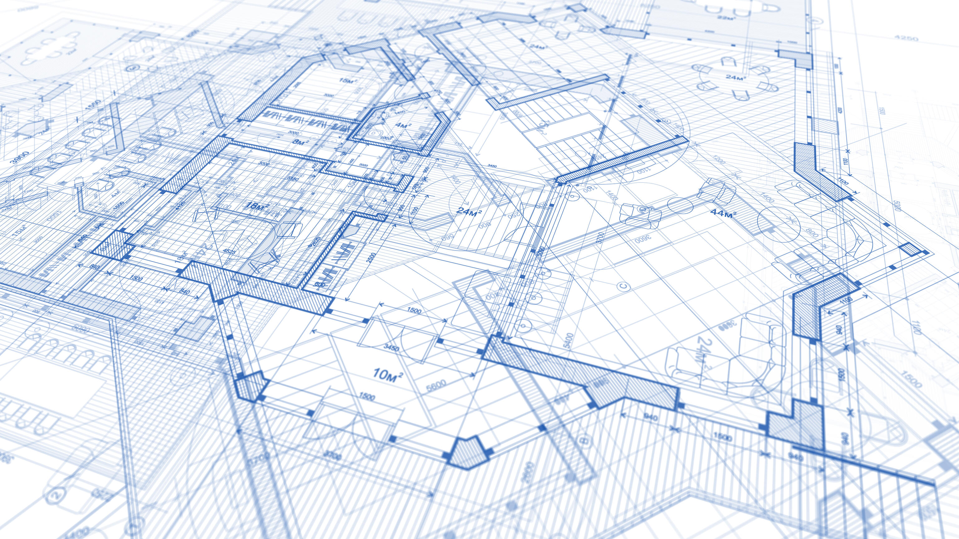
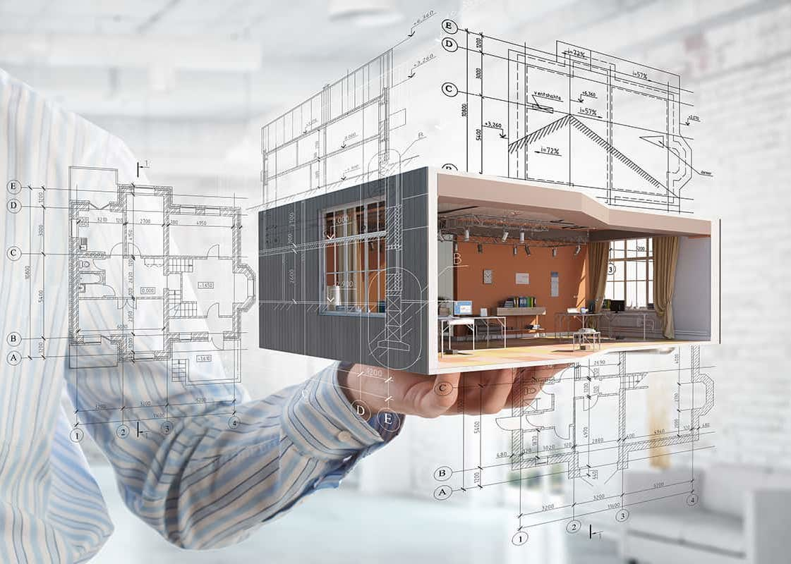
Traditional indoor mapping software such as Autodesk’s Revit and AutoCAD are used to create accurate and detailed drawings of a space. These drawings include specific architectural details such as wall dimensions, electrical layouts, exits, plumbing, and more. As mapping tools, Revit and CAD are commonly used by architects, designers, engineers, and so on. Unfortunately, not anyone can leverage these tools, as they require training to maneuver. As such, they weren't meant to be utilized by everyone but rather tailored to the CAD professional.
Another important feature to note about these tools is that they’re not designed for quick or minor map changes. For instance, a blueprint is usually only updated when there’s long-term changes to a building, such as the addition of an entirely new wing. Thus, maintaining accuracy in maps over time becomes more difficult, as indoor spaces continue to change and grow. Examples of location data that repeatedly change include desks or departments in an office building, classrooms on a campus, vendors at a stadium and kiosks or retailers in a shopping mall. Thus, these architectural tools aren’t ideal for maintaining the day-to-day changes within indoor maps, as data can quickly become outdated.

Even so, Revit and CAD files provide an accurate look inside a building, on top of which map experiences can be created. They don’t incorporate many of the features that property visitors might be looking for (e.g. amenities and wayfinding), but they can be converted into a format that’s consumable and includes information relevant to each platform. Property managers will then need designers who understand how to turn a CAD file into a consumer-friendly map. This process is not always seamless, and can cause a disconnect in the mapping experience.
Indoor Mapping Platforms
Indoor mapping software such as Mappedin are flexible, simple to use and easy to integrate with other apps and frameworks. We’re able to take 2D floor plans of a building, provided as CAD files or other formats, and create a 3D digital asset. Through digitization, our platform enables simplified indoor map visualizations along with indoor positioning and navigation capabilities. With a professional mapping team and powerful Map Editor tools, this allows you to create and customize indoor maps that are detailed, accurate, interactive, and most of all, valuable to users. Other players in this space, such as MazeMap, are also trying to solve this problem: how can we make tooling easier to use?
The Map Editor tools provided in our mapping platform are user-friendly and don’t require extensive knowledge and training to use. As a newer indoor mapping tool, it has been adapted and simplified in many ways so that property managers for example, can edit their maps with ease. This tooling is maintained in real-time, to ensure that positioning-based experiences are always accurate. From long-term venue changes, to small or temporary changes, property managers can ensure that buildings are consistently up-to-date. For instance, if a particular building area is closed, you can mark this as off-limits in your map and redirect visitors via a different route. You can make quick changes to labels on the map, rearrange rooms and amenities, colour-code and edit logos, and much more. These tools make maintaining, updating, and growing your maps a simple task.

With positioning and navigation technologies, property managers are also able to leverage and export analytical data on how their map is used by visitors. For instance, Mappedin’s Analytics Dashboard tool showcases location-based details of visits, such as user behaviour, most popular location searches, device use, and more. It tells you what your visitors are searching for and where they are going within your maps. This is an excellent feature for gathering insights and visualizing trends, which can help you make informed business decisions. For example, if you notice that a large majority of your visitors are searching for a coffee shop that doesn’t currently exist at your venue, you may consider adding it. Then, using the Map Editor tools, you can easily add this coffee shop to your map in real-time.
Outdoor Platforms
We’ve talked a lot about indoor mapping tools - but what about mapping tools that were created to navigate the outdoors? Outdoor mapping platforms such as Google Maps and Apple Maps are consumer-facing applications that people are most familiar with because of their ability to discover and orient the world. These maps rely on Global Positioning System (GPS) to leverage satellites and pinpoint locations geographically. This technology provides accurate location information in outdoor spaces but cannot provide the same as easily when it comes to the indoors.
Wayfinding solutions for indoor spaces are trickier because there isn’t one way to create a mass dataset of these spaces- you would need to work collaboratively with the millions of property owners around the world. They would need to be equipped with the tools that enable them to manage their own data. More recently, platforms like Google and Apple have started to offer indoor mapping capabilities to property owners. For instance, property owners can register for Apple’s Indoor Maps program after exporting an Indoor Mapping Data Format (IMDF) file of their building. Once uploaded, Apple is able to pull that map into the Maps app for anyone to use. This feature allows users to seamlessly navigate between outdoor and indoor maps across a variety of spaces including shopping malls, stadiums, airports, and more. The downside to this indoor mapping option is that property owners don’t have the ability to customize the experience within their own website or mobile application.

Future of Indoor Mapping
Each of the platforms above has its own place within the indoor mapping landscape. Unfortunately today, there isn’t a cohesive solution to tie them all together. This begs the question: how can we enhance workflows between these tools that each serve a different purpose?
While there will always be a need for specialization, the integration of these different tools can provide a seamless and unified experience for indoor mapping. For example, automating the process of converting traditional software files into digital map platforms will remove complicated and costly processes, save time, and improve map accuracy. In addition, integrating a modern mapping platform like Mappedin with outdoor mapping platforms allows property owners to customize maps within their own website or mobile application. Together, the benefits of each platform can be optimized through integration.
As an indoor mapping company, this is at the core of what we do. Mappedin’s goal is to build the word processor for indoor mapping, simplifying processes and giving property owners and operators what they need to create amazing digital experiences. Ease-of-use should be top of mind, so that anyone looking to make changes to their maps can do so without trouble. This could be as simple as changing the name of a store, creating a pop-up event or adding a new bathroom to a mall. Ultimately, property owners should be equipped with the tools to grow and update their maps with ease.
Looking into the future, accuracy is everything with indoor maps. Creating a streamlined process in the mapping experience is key to ensuring that maps are always up-to-date and display accurate information. Thus, incorporating all of these tools into one highly accurate, efficient, and user-friendly indoor mapping platform might be where we’re heading in the future.


