Mappedin SDK is used to power thousands of venues worldwide and is constantly improving with new functionality. Here’s a feature roundup of the latest SDK additions and improvements.
Dynamic focus mode
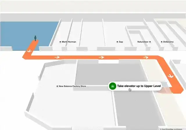
Dynamic focus allows users to reveal the indoors while exploring a map. For multi-building and single building experiences, users can focus on the map that is the center of their viewport with the zoom function. This makes it easier for users to navigate a multi-building venue by reducing the clutter within the viewport and revealing information that is most relevant to their journey.

Outline effect for polygons
Select multiple polygons and have an outline displayed for each polygon or group of polygons. This feature can highlight specific areas of the map to users, aid in data visualization, or even help communicate changes in a specific area of the venue.

Hide and display polygon layers
You can now choose what layers to display or hide to create an optimized mapping experience. This feature gives developers the capability to customize their map appearance and focus on information that is most relevant to their users. Read more about Layers and its capability (including a map and code sandbox to play with).

Individual polygon hover colors
Unlock further customizations of your mapping experiences with the capability to set individual polygon hover colors. This feature can be useful for differentiating stores, categories, or other location information.

More improvements and enhancements
We have caught and fixed several of bugs this month, here are some highlights:
Focus on camera animation
We fixed the focus animation to always prioritize the shortest rotation, preventing dizzying spin animations from occurring.

Flat labels and logos
We fixed the issue of logos disappearing or blending into the polygon upon zooming in and out of the map. In the before and after example images below, see the upper left building logo (The Keg) to see the change (it is much clearer now).

Check out a full list of fixes from this past month here.
New features coming soon
Transient polygons
Developers will have the ability to use smooth fade-away and fade-in transitions between polygons to reveal additional polygons and information as a user zooms into the map. Transient polygons allow the map to have dynamic detail levels, revealing relevant information as the user focuses on a certain area. Another major benefit of using transient polygons is to provide users with an understanding of the hierarchy of geospatial data within your venue’s map without the need for additional UI elements
For example, a retail store map can show an area for women’s apparel products, and upon interaction and zoom of the map, additional information is revealed, such as shelves with tops, bottoms, and accessories.

Analytics API
Analytics helps you make informed decisions regarding your business. In the upcoming months, we are working towards improvements to our analytics solution such as having a richer analytics API that will include additional data fields that occur on a UI level. Additionally, we are working towards integrations with Microsoft PowerBI and providing heat maps, so you can visualize how users interact with your venue at any given time.
Read more about our latest SDK version release here. Our Developer Portal is a great resource to get the most up to date information regarding Mappedin’s SDK and your one stop shop to access guides, release notes, and our developer gallery.
Share