Start Here
Campus mapping platforms transform higher education navigation by providing interactive, AI-powered wayfinding solutions that improve operational efficiency, enhance emergency response capabilities, and deliver a superior campus experience. Scalable digital mapping platforms can integrate seamlessly with existing campus infrastructure, offering real-time updates and turn-by-turn directions across multi-building environments. Today’s students expect intuitive navigation tools, making comprehensive campus mapping essential for competitive positioning, safety preparedness, and measurable ROI through reduced operational costs and improved visitor satisfaction.
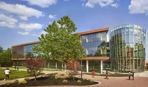
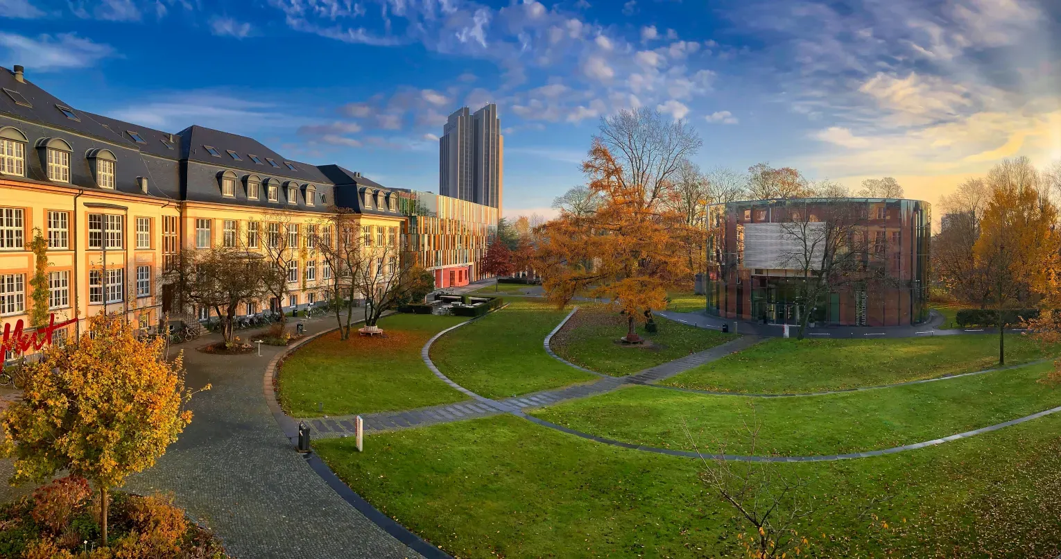
Each and every day, students, visitors, and staff need direction to get to classrooms, lecture halls, offices, cafes, ride-sharing locations, dorms, and more. They look for anything that helps them navigate: physical signage, maps located in building entrances, and maps on websites. Campuses are constantly growing and are challenged with changing layouts, construction projects, and pressures of efficient space usage. The result? Inadequate campus mapping and navigation—costing more than you think.
When prospective students can't find the admissions office, or when faculty arrive late to meetings because they got lost between buildings, or when emergency responders waste precious minutes locating the right entrance—these aren't just minor inconveniences. They're situations that impact your organization’s productivity, operations, and bottom line.
That’s exactly why having a scalable mapping platform that helps create a connected campus is so important.

The real opportunities of campus mapping
Operational impact and productivity gains
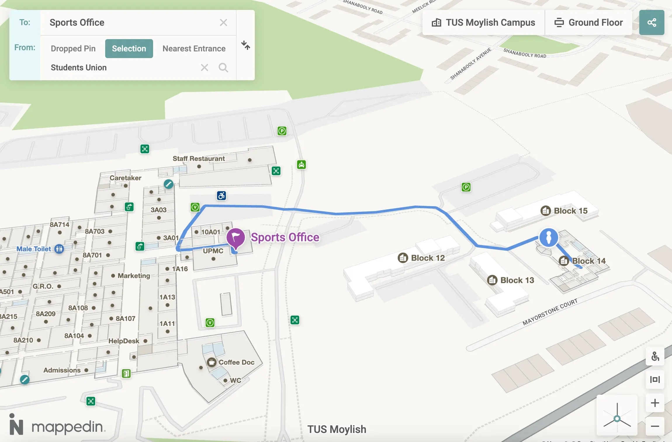
Traditional campus maps fail because they treat navigation as an afterthought rather than a strategic asset. Improve guidance by enabling your reception, admin, and facilities staff with a 3D, interactive map that can provide turn-by-turn directions. Help drivers locate building entrances and loading docks when delivering supplies and materials. Give the power of interactive navigation to guides giving campus tours to prospective students. Campus events run smoothly when visitors can locate venues, parking, and amenities without assistance.
Enhanced safety preparedness
Emergency response times suffer when first responders can't quickly identify building entrances, room locations, or optimal evacuation routes. With a comprehensive campus mapping platform, emergency responders can access detailed building layouts instantly, including room numbers, entrances, and safety equipment locations. Campus security improves through clearly marked emergency assembly points and accessible evacuation routes that work for all mobility levels.
Measurable visitor experience improvements
Prospective students form positive first impressions when they can easily navigate the campus during visits and tours. Conference attendees and community event guests experience professional wayfinding that reflects your institution's commitment to excellence.
Future-proof infrastructure investment
A robust indoor mapping platform should be scalable and flexible, adapting to your campus as it grows and changes. New buildings, layout changes, room reassignments, and facility expansions can be mapped on the same platform and deployed immediately, without requiring extensive updates.
Competitive advantage
Modern students and faculty expect digital navigation tools that work as intuitively as Apple Maps or Google Maps. Institutions without comprehensive maps and wayfinding appear outdated compared to other campuses that have invested in a modern campus mapping platform that works across all channels, including web, mobile, and kiosks.
The technology that makes this possible
Intelligent multi-building architecture
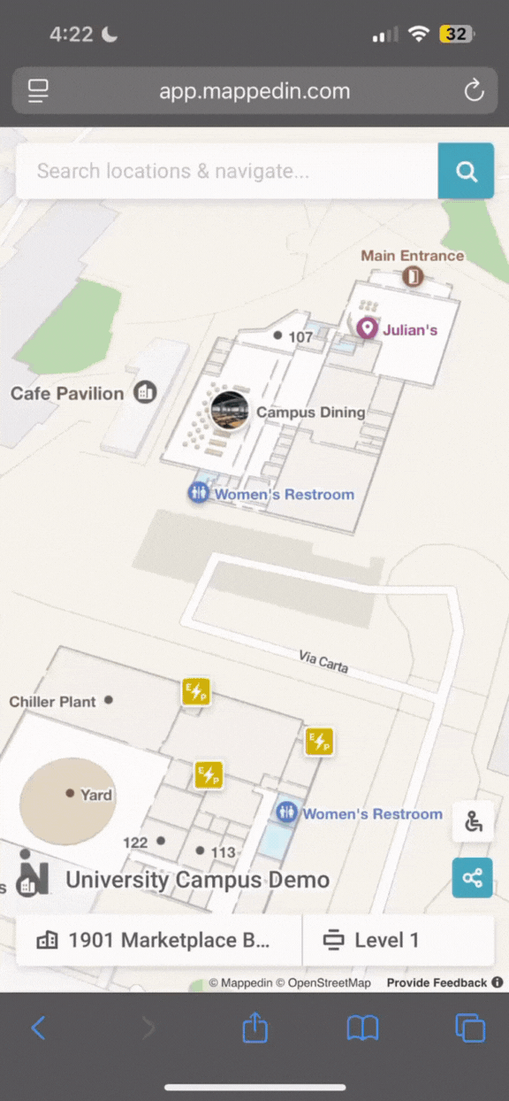
Purpose-built mapping technology connects your entire campus as one navigable system. Users get directions from any starting point to any destination, whether that's a dorm room to a lecture hall or parking lot to a specific office, without switching between different apps or losing their orientation.
AI-accelerated implementation
Advanced recognition technology converts your existing architectural drawings into interactive digital maps. This reduces initial setup time compared to manual mapping approaches, getting your system operational faster while maintaining accuracy.
Real-time content management
Your facilities team updates room assignments, construction notices, and accessibility information instantly through a centralized system. Changes appear immediately across all access points, ensuring information stays current without technical delays or coordination overhead.
Professional integration capabilities
Your navigation system embeds directly into existing websites, mobile apps, and digital signage without requiring technical expertise from your team. Direct visitors to specific locations through deep links to maps in email, marketing materials, or emergency communications.
Measuring success and ROI
Operational metrics
Track reduction in direction-giving calls to campus information services. Measure improvements in meeting punctuality and event attendance. Monitor delivery efficiency and vendor satisfaction scores.
User engagement analytics
Monitor map engagement to effectively measure how visitors interact and navigate to campus amenities. Identify popular search terms, routes, and high-traffic areas to inform future campus planning decisions.
Strategic impact assessment
Survey prospective students about their campus visit experiences. Evaluate how maps are used during emergency preparation to ensure emergency response meets safety standards. Assess accessibility compliance through usage data from visitors with mobility needs.

Investment Considerations
Resource requirements
Initial implementation requires coordination with facilities management for floor plan collection and campus boundary definition.
Scalability planning
The mapping platform grows with your campus needs. Adding buildings, updating layouts, and expanding functionality happen with minimal additional technical resources or immediate vendor dependencies.
Competitive positioning
Modern campus navigation has become a baseline expectation rather than a luxury feature. Organizations investing in comprehensive wayfinding systems position themselves as forward-thinking organizations that prioritize user experience and operational efficiency.
Why campus mapping matters now
Campuses are becoming increasingly complex as institutions expand programs, add facilities, and serve more diverse communities. The traditional approach of static maps and building-specific solutions creates fragmented experiences that frustrate users and waste resources.
Comprehensive campus navigation addresses these challenges while providing a foundation for future growth. It's infrastructure investment that pays dividends through improved efficiency, enhanced safety, better visitor experiences, and competitive differentiation in an increasingly crowded higher education landscape.
Your campus navigation solution should work as intuitively as the mapping tools your community uses every day, while providing the detailed campus-specific information they need to navigate confidently and efficiently. When implemented strategically, it transforms from a simple wayfinding tool into a comprehensive campus management asset that supports your institution's broader goals and objectives.
Ready to create a campus experience for students, visitors, and staff? Sign up and start mapping or get in touch with us to learn more.


Share