Start Here
Blue dot navigation for colleges and universities provides real-time location tracking and seamless indoor-outdoor wayfinding across complex campus layouts. It helps students and visitors navigate between buildings, classrooms, and amenities with turn-by-turn directions. The maps can provide increased safety for all by offering safety alerts, emergency coordination, and enhanced campus experiences while reducing navigation stress through intuitive, infrastructure-free positioning that works across websites, mobile apps, and digital directories.
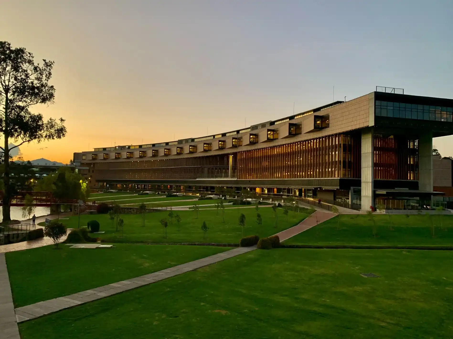
Having trouble locating classrooms, amenities, and services on campus? Navigating between several buildings, floors, and indoor-outdoor components on a university or college campus can be extremely challenging. But with blue dot navigation, it doesn't have to be.
Finding your way around campus can be easy, intuitive, and timely. Find out how.
What is blue dot navigation?
When navigating the outside world with applications such as Apple Maps and Google Maps, we can see our real-time location with a little blue circle, also known as blue dot. Similarly with indoor navigation, our precise location is represented by a blue dot within the context of an indoor map. With blue dot operating in real-time, users can see their location moving on the map as they follow step-by-step directions, providing accurate positioning and seamless navigation.

Indoor positioning system for colleges and universities
Indoor positioning technology combined with digital maps enables blue dot navigation, thereby creating an enhanced wayfinding experience for colleges and universities. Operating in real-time, students aren’t required to enter a “start” destination, as the blue dot detects their exact location and moves with them through the campus. If a student strays from their path, the navigation will update automatically to guide them back on course. Along with providing helpful turn-by-turn directions, an indoor positioning system can also unlock additional experiences such as virtual campus tours, contact monitoring, room booking, and more.
Why use blue dot navigation for colleges & universities?
Colleges and universities are large, confusing, and have both indoor and outdoor components. Blue dot navigation ensures that students and visitors can locate an upcoming class or nearby food vendor without complications. For instance, students can utilize a campus wayfinding app to avoid getting lost when navigating from dorm rooms to lecture halls to other campus buildings.
Enhanced campus experience
Navigating a college campus can be overwhelming, stressful, and difficult. Even returning students, visitors, and staff members run into problems trying to locate classrooms, amenities, and services. Pairing blue dot navigation with indoor mapping helps enhance the campus experience by equipping students and visitors with a tool to navigate and familiarize themselves with your college or university.
Seamless outdoor-indoor wayfinding
With seamless outdoor to indoor blue dot wayfinding, students and visitors can avoid wandering around campus and confidently navigate between and within buildings, floors, and both the indoor and outdoor campus components.

Advanced accessibility
With an AODA compliant blue dot navigational tool, colleges and universities can ensure an accessible and inclusive environment for everyone on campus. With Mappedin’s Accessibility Mode and optimized pathing, staff and students can populate accessible routes that prioritize ramps and elevators over stairs. Everyone can access tailored directions whether they’re using a mobile phone, laptop, iPad, or digital directory.
Find your way
Blue dot navigation helps students and visitors find their way around university and college campuses with ease. With the ability to see your location in real-time and populate directions between multiple stops, it becomes stress-free locating classrooms, study spaces, restrooms, food vendors, and all other amenities. For instance, the University of Ottawa allows students to search for a professor and receive step-by-step directions directly to their office. As an efficient wayfinding solution, students can also pre-plan routes to save time and avoid late arrivals.

Stay informed
Different university and college buildings may offer different indoor facilities and amenities. Digital maps with blue dot wayfinding enable maximum discovery of the varying classrooms, study spaces, and services located within these buildings. With helpful directions, and at-a-glance information at your fingertips, students and visitors can stay informed of campus offerings and how to access them.
IPS also enables colleges and universities to layer on real-time push notifications as people navigate through campus. These details can be relayed to students and staff relevant to their location, so if someone is passing by the bookstore, they will receive a personalized notification regarding ongoing sales and promotions. These notifications are also useful for lecture cancellations, changed meeting times and locations, wi-fi details, and promoting campus news.
Put safety first
Digital campus maps can also be used to increase safety for students and visitors. Your map can include the location of campus security, fire extinguishers, emergency exits, and other security facilities. Paired with the ability to send push notifications, campuses can send emergency notifications to individuals in specific locations. For example, all those within a certain building can be sent an alert to evacuate through the emergency exits highlighted on the map. With blue dot technology, students can also send their location coordinates to first responders if they’re in need of assistance.
What sets Mappedin apart?
Mappedin provides indoor mapping for 700+ venues in 30+ countries around the world. Our industry-leading tools power 550,000,000+ square feet of data, wayfinding, and indoor maps. With a readily available integration with Apple, we provide infrastructure-free indoor positioning and blue dot navigation through IMDF and fingerprinting. This experience is seamless and does not rely on hardware installations or application downloads.
Our platform enables indoor mapping and navigation experiences across your entire portfolio of digital touchpoints. From your website, to mobile applications and touchscreen digital directories, visitors can rely on an accurate and intuitive wayfinding experience. With simplified Map Editor tools, Mappedin’s platform makes maintaining, updating, and growing your campus maps a simple task.

Become a smarter campus
Colleges and universities can create a smart and digital campus environment by combining indoor positioning and blue dot wayfinding with an accurate and interactive map. While providing intuitive navigation, digital maps can promote ongoing news, events, and safety bulletins. Moreover, Mappedin’s advanced technology can easily work with your latest software and devices.
Real-time campus management
Mappedin’s CMS is the foundational layer for your interactive campus map experience. The Map Editor makes it simple to edit location information and alter the appearance of your campus map when locations shift or new buildings are added. Edits made within the CMS will reflect across all platforms from school websites to a campus map app. The Analytics Dashboard shows valuable data on user searches, category selections, device usage, and more.

Blue dot navigation for colleges & universities frequently asked questions
What is the blue dot on the map?
On a digital map, a simple blue dot lets you know your real-time location and allows you to continually reference that location as you walk around campus. It makes getting around so much easier. A student or visitor can simply load the map on their device and locate themselves while navigating the college or university campus.
Do you need an internet connection while navigating?
No. Once the map has been loaded, you do not need an internet connection for blue dot wayfinding. The blue dot experience does require indoor positioning, but will function without an internet connection. For blue dot using Apple devices, wi-fi should be on but does not need to be connected to the venue wi-fi. This way, positioning systems can see access points and the blue dot experience will work in its more accurate form.
Are all routes calculated or are all routes stored as-is?
Routes are stored as is, meaning when the pathing network is fetched on the client application side, it can work offline without an internet connection. Mappedin wayfinding is powered by the pathing network managed in the Mappedin CMS which algorithmically finds the shortest path between two locations on the map.
To learn more about solutions for colleges and universities, visit our website or contact us today.
Share