Start Here
Indoor mapping technology significantly enhances emergency preparedness by providing real-time location services and detailed evacuation route planning for buildings and facilities. These digital mapping solutions help emergency responders pre-plan to understand layouts and unfamiliar structures, reducing critical response times during incidents. Maps integrate with emergency management systems to deliver up-to-date and accurate floor plans, while identifying safety equipment locations and emergency exits. Mappedin's comprehensive platform transforms traditional emergency planning into data-driven crisis response strategies.
How does indoor mapping improve emergency planning?
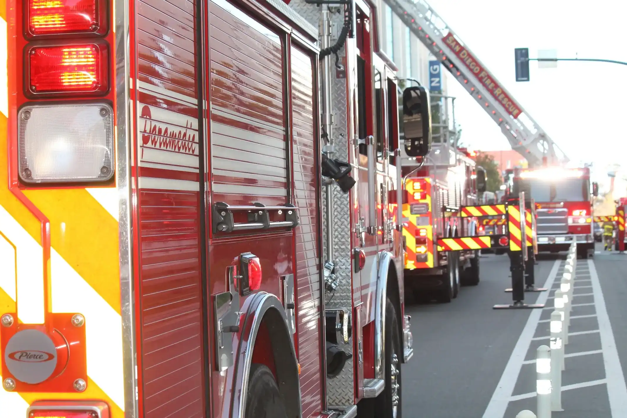
Due to the advancement and widespread adoption of GPS technology, we have plenty of data about outdoor spaces. We know, in real time, what the fastest routes are to a particular location. Response teams use that technology to make it to the site of a disaster in record time – for example, firefighters have an ideal response time of just 5 ½ minutes, which they try to reach in 90% of emergency situations.
But what happens when they have to go indoors to evacuate survivors? Unless they’re already familiar with the building – which is highly unlikely, given that there are thousands of structures in any given city – they’re going in blind. Not only is this information important for response teams, knowing the locations of emergency exits is important for those inside of the building too.

Few things are more important in an emergency than situational awareness. Even something as “small” as knowing where the exits are can be the difference between life and death. When you don’t know where you’re going or even where you are, rescue operations become significantly more difficult.
Unfortunately, many organizations drop the ball on emergency management because it’s expensive, complex, or just not a priority. Emergency preparedness doesn’t have to be difficult, though. With indoor mapping for grocery stores and other indoor spaces, planning for potential crises becomes easier, emergency response gets faster, and more people are likely to survive. That’s because indoor mapping provides one of the most important tools for risk management: information.
Fires, earthquakes, floods, and other kinds of emergencies will happen – that’s just a fact of life. But while we can’t avoid disasters completely, we can do the next best thing. Preparing and developing plans for an emergency is the first step to ensuring public safety.
Today, we’ll take a look at the many different ways that indoor mapping can help in an emergency situation.
Evaluate emergency preparedness
Before you can even begin to plan for emergencies, you need to know what you’re working with. If you know the location of the important “safety points” – entrances and exits, fire alarms, first aid kits, and designated assembly spaces (or “muster stations”), for example – you can create safer and more effective plans.
Indoor maps are more than just floor plans. They are a visual account of the entire organization, including equipment, resources, and even people. You can get a lot of insight into your building’s emergency preparedness just by looking at an indoor map.
If you understand how the space is being used, you’ll be able to identify if there are potential bottlenecks that could impede rescue operations. You will also see if there are sections that don’t have any safety equipment nearby.
These weaknesses aren’t immediately apparent in the day-to-day, but they have a huge impact on your safety. Indoor maps allow you to act on them before they result in injury or worse.
Accurate emergency route planning
The route that your employees and site visitors take in evacuation procedures can determine whether they make it to the assembly space safely. In the same way that indoor mapping can be used to plan out the most efficient routes for groceries and other retail spaces, it can be used to map evacuation routes as well.
Because they tell you where exits, obstacles, and other hazards are, indoor maps can help you figure out the quickest and safest way out of the building. They can also be used to plan alternate routes to avoid bottlenecks and stampedes, which can quickly turn deadly.
Of course, indoor maps are just one aspect of efficient evacuation. Your employees have to be familiar with your emergency plan, which can be achieved through regular evacuation drills and crisis seminars. You should also consider displaying your venue maps in various sections of the building to guide people toward the nearest exit.
Reduce reaction times
When there’s a crisis, time is of the essence. Several studies have shown that even a one minute delay in medical response can lower survivability rates significantly.
And it’s not just access time either; activation time, which is the amount of time it takes to assess a location or situation, is just as important.
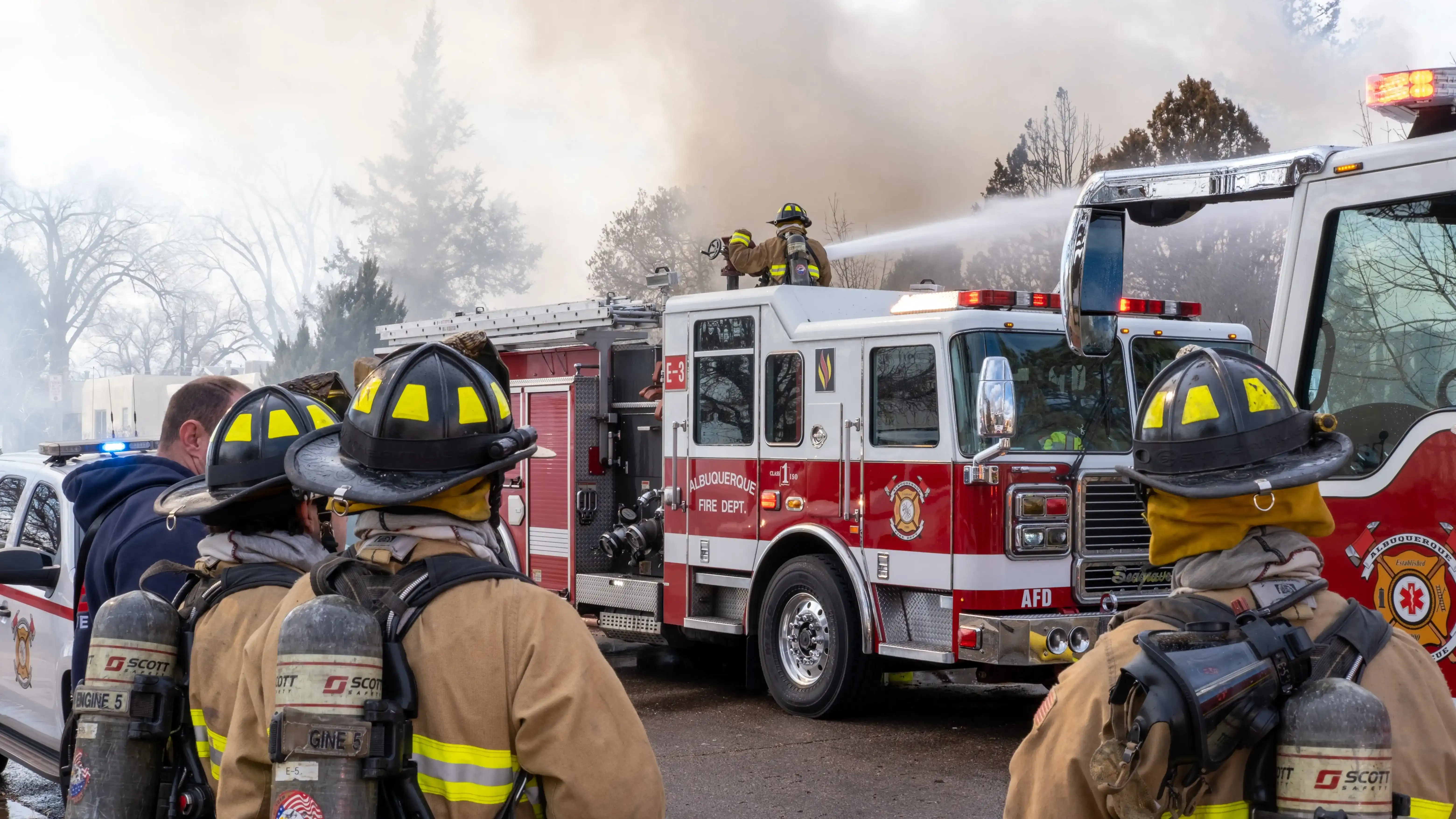
This is a huge problem for emergency responders. It’s hard enough to navigate an unfamiliar building efficiently, but to do so while there’s fire, flood, earthquakes, or other disasters? Practically impossible.

In cases where emergency responders arrive at a scene of a disaster, it’s hard to know what to expect. Most of the time, the building or location could experience unpredictable situations like collapsed structures, blocked-off exits, dangerous storage areas, and other obstacles. They probably don’t know the location of first aid kits, fire hydrants, and other safety points, so they spend precious time figuring that out – time that could be used to evacuate personnel or minimize structural damage.
Indoor mapping provides emergency responders with the data they need to get in and out as quickly as possible, greatly reducing the risk of injuries or casualties. Furthermore, they can identify any rooms or locations they need to be more careful about. For example, if there was a fire at a store, it may be helpful to understand locations in which there may be dangerous chemical products, and plan a rescue mission effectively and safely.
Provide real-time location
Knowing your location is the first step in determining the best course of action in any emergency. But when you’re in a stressful situation, it’s easy to panic. And when you panic, your situational awareness could be impaired, making it harder to make the right decisions and evacuate safely.
Physical maps and floor plans help, of course, but they’re also static – every time you move, you have to reassess your location in relation to where you have to go. That takes time and mental energy, two things you need to conserve in a crisis.
Today’s indoor mapping technology provides a solution: real-time location services that show you exactly where you are at all times. IPS-enabled blue dot tech boasts great location accuracy, on par with the accuracy of GPS location services for outdoor spaces.
Ensure map accuracy
Maintaining accurate maps is essential to effective emergency response. Most buildings already have floor plans, but spaces change all the time. Renovations, expansions, or even simply shuffling things around can result in outdated (and therefore useless) data.
For larger facilities like college campuses, large retail chains, shopping malls, and the like, inaccurate maps are an even bigger problem. There may even be different versions of the same map, and it can be difficult to piece together the most up-to-date one.
Indoor mapping makes it easy to consolidate all of that data in one location, called a “Single Source of Truth” map. There’s no question about which version you have to follow.
Plus, everything is digital, so it’s a lot easier to update on the fly. You can make changes to your map in a matter of minutes, and then distribute the updated plan to different departments in the same amount of time.
Detail emergency exits and important information
Building codes demand that each structure should have emergency exits, fire extinguishers, and other safety equipment in case of emergency. And most do – the problem is that your organization’s employees might not know where they are. Emergency responders probably don’t either.
It’s impossible to expect every visitor or staff member to know the location of each and every critical element. This is the gap that indoor mapping hopes to fill. You can plot muster stations, first aid kits, fire alarms, and other emergency data on an indoor map. This allows people to respond faster to crisis, hopefully minimizing damage and reducing loss of life in the process.

Mapping should also be combined with signage and lighting on the ground. Exits and other important emergency data should be clearly marked and free from obstruction. You should also place signs guiding people to nearby emergency exits throughout the building.
Integrate with mobile devices
The number one priority of any emergency response is to save as many people as possible. But no matter how good your emergency plan is, some people might fall through the cracks. Maybe they didn’t realize that there was an emergency until it was too late, or maybe they panicked and couldn’t find their way out in the chaos.
The great thing about indoor mapping is that it can be integrated into mobile devices such as tablets, phones and smartwatches. When there’s an emergency, the system can send out a notification alerting them of the situation and providing routes from their real-time location for safe evacuation. Some mapping software even allows them to access the map in real time. And if someone gets left behind, their location can be tracked, which allows responders to prioritize searches and evacuate more efficiently.
Reliable positioning for response teams
For emergency services to do their job well, they need to have as much data as possible. The more they know, the less time it takes for them to get in and out of the building, and the fewer mistakes they’ll make along the way.
Indoor mapping gives response teams the data they need to move quickly and effectively throughout the building. They’ll see all of the entrances/exits, emergency equipment, and routes, allowing them to plan their movements before jumping into action.
Plus, if your personnel have indoor location tracking enabled on their mobile devices, responders can find them faster during evacuation procedures. They don’t have to waste time or energy searching the entire location because they already know exactly where they need to go.
Conclusion
When you’re creating an emergency response plan, indoor mapping can be an invaluable tool. It can help you evaluate whether or not you’re prepared for a crisis, which helps to disaster-proof your building before emergencies strike. It can also help you plan emergency routes better, reduce response reaction times, and help responders navigate your building more efficiently.
Keep your organization and facilities safe! Mappedin provides innovative mapping solutions for all kinds of industries – reach out to us today to learn more about our emergency mapping platform.
Share