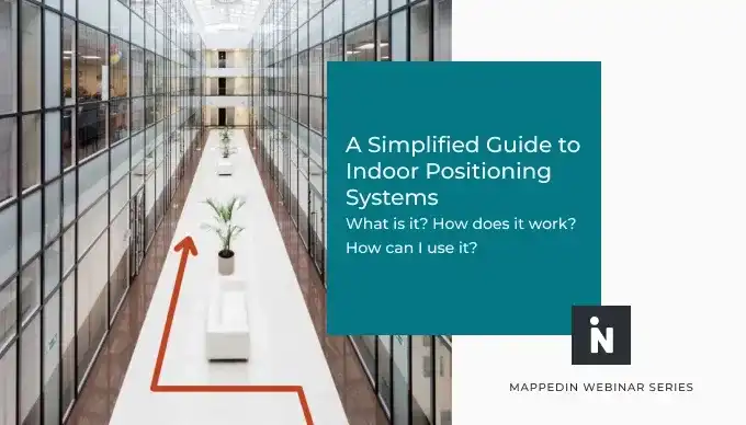
Blue Dot: What is it? How does it work? What’s the difference between blue dot and wayfinding? What’s the best indoor positioning system? Read on for answers to these and many more questions.
What is blue dot wayfinding?
The answer to what is blue dot wayfinding is actually quite simple. Blue dot wayfinding describes a navigation experience that most are familiar with, whether you realize it or not. In popular outdoor mapping apps such as Google or Apple Maps, the movement of your real-time location is reflected with a visual blue dot.

Blue dot experience
Outdoor navigation apps detect your real-time position from Global Positioning Systems (GPS), which are primarily powered by satellites. Indoor spaces, however, cannot rely on satellites to penetrate through multi-floor buildings and provide accurate wayfinding. Indoor mapping companies such as Mappedin must use indoor positioning techniques to generate the same blue dot experience that has become so familiar.
Wayfinding and blue dot: what’s the difference?
While wayfinding and blue dot differ in their dependencies and level of detail, both ultimately perform the same service of guiding a user from a starting point to their end destination. In order to provide blue dot navigation, the software must understand your location as it updates in real-time. This experience is slightly more complicated as it requires positioning infrastructure (discussed in more detail below), but it also yields more accurate positioning and an enhanced wayfinding experience. If a user strays from their path, for example, the navigation will update automatically to guide them back on course.
Standard A-B wayfinding provides a more simple indoor navigation experience but does not require any additional technology. All that is required is for a user to input their start and end destinations, and the map will display the most efficient route from point A to B. Even without positioning, indoor wayfinding can account for multi-floor and multi-destination routes and factor in accessible routes that prioritize ramps and elevators over stairs and escalators.

Follow mode
As users navigate a venue, Follow Mode ensures that the map automatically rotates for every turn along the way without requiring you to manually pan or move the map to keep up. Blue dot wayfinding takes this experience to a new level by having the camera focus on the blue dot in top-down or third person view angles throughout the whole journey. Visit our developer guide to learn more about Mappedin camera controls.
Indoor positioning systems (IPS)
An indoor positioning system is a network of devices used to locate people or objects, specifically in locations where GPS lacks precision or is not an option. Indoor positioning and indoor mapping are two separate systems, but can be used in conjunction to provide an enhanced navigation experience.
Bluetooth beacons
Bluetooth Low Energy (BLE) beacons are likely the most well known indoor positioning technology. Beacons are installed throughout a venue and as smartphone or smartwatches pass by, they pick up on a signal from nearby beacons. These devices are able to calculate the rough distance between beacons, therefore estimating a user’s indoor location.
Wi-Fi networks
Wi-Fi networks are used similarly to BLE beacons but where beacons can be battery operated, wi-fi typically requires an external power source. Existing Wi-Fi access point providers such as Cisco and Aruba have added geo-fencing and proximity capabilities to their enterprise offering. Network users running an enabled application can determine their rough location indoors.

Radio frequency identification (RFID)
RFID system consists of a transponder, a receiver and transmitter and uses electromagnetic fields to automatically identify and track tags attached to objects. When triggered by a nearby reader, RFID tags transmit digital data back to the reader. RFID tags can be associated with people, equipment, or other objects to quickly find their location indoors.
Inertial measurements
Many companies, including chipset manufacturers, have used onboard motion sensors built into every mobile phone to perform what is called “inertial navigation” - guessing positions using physical motion sensing and last known position.
Geomagnetic
Geomagnetic is perhaps the newest and most cost effective solution to indoor positioning. At Mappedin, we refer to this as infrastructure-free indoor positioning because this solution does not require any hardware installations (e.g. beacons or RFID tags). Using magnetic sensor data from smartphones, digital maps can display a device’s current position. Mappedin works with Apple to provide blue dot wayfinding for iPhones and IndoorAtlas to showcase real-time location for Android devices.

What is the best system for achieving ‘blue dot’ indoors?
The best system depends on a variety of factors, including goals for the solution, budget, venue size and complexity, existing infrastructure, number of floors, and more. Because each of these will be unique for every customer, rather than provide a one-size-fits-all suggestion, it is important to look at the following performance criteria:
- Accuracy: What is the realistic accuracy that can be expected under normal or suboptimal conditions?
- Cost to achieve desired performance: How much will it cost to implement, own, and maintain? Certain systems may have low implementation costs but require quite a lot of maintenance at an additional cost.
- Response time: How long does it take for the system to respond?
- Reliability: How well does the solution function indoors?
For customers who are starting from scratch, we believe Apple’s infrastructure-free is an extremely effective solution and will continue to improve with time. Because no hardware is required, this is a low-risk way to see the impact of having blue dot capabilities within your venue. However, as different indoor environments likely yield different recommendations, Mappedin would love to work with you to find the right indoor positioning solution for your business.
Blue dot navigation FAQs
How do maps find your current location?
The maps find your current location using some form of indoor positioning technology, whether geomagnetic, beacons, wi-fi, RFID, or inertial measurements.
Do you need an internet connection while navigating?
Once the map has been loaded, there is no need to be connected to the internet for blue dot wayfinding from one location to another. The essential blue dot experience does require indoor positioning GPS, but will function without an internet connection. For blue dot using Apple devices, wi-fi should be on but does not need to be connected to venue wi-fi. In this way, positioning systems can see access points and the blue dot experience will work in its more accurate form.
Are all routes calculated or are all routes stored as-is?
Routes are stored as is, meaning when the pathing network is fetched on the client application side, it can work offline without an internet connection. Mappedin wayfinding is powered by the pathing network managed in the Mappedin CMS which algorithmically finds the shortest path between two locations on the map. Contact us to learn more.
Share