Pre-built integration libraries
Connect to curated data products from our partners and start pulling data into your maps in minutes.
Plug in your systems and see them live on an interactive indoor map.
 BusyQuietBus stopRoute 7 in 4 minTrain stationNext train 9 minCam 14LiveCam 22LiveFood court92% fullNorth wing38% full
ConnectedSyncing
From points of interest to people movement, weather to wait times, see how easy it is to visualize any data set on a map.
Connect to curated data products from our partners and start pulling data into your maps in minutes.
Style any connected dataset to match your brand, and control how it’s processed and displayed so every layer reads clearly.
Built for high-volume, high-frequency data, including streaming security video, without slowing your map down.
Keep tenants, location details, events and categories in sync automatically, so your map is never out of date.
Pre-built connectors for guest experience and venue operations, plus the tools to build your own.
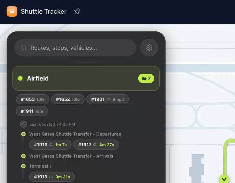
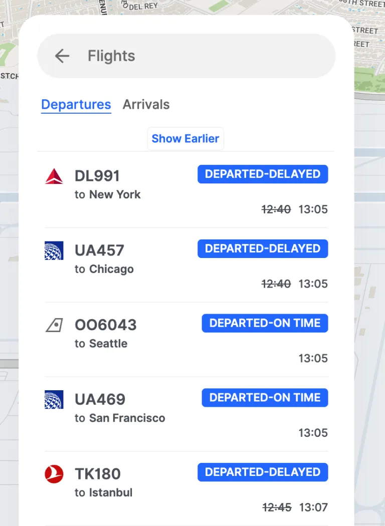
Connect transit schedules, weather, and flight status directly to your map.



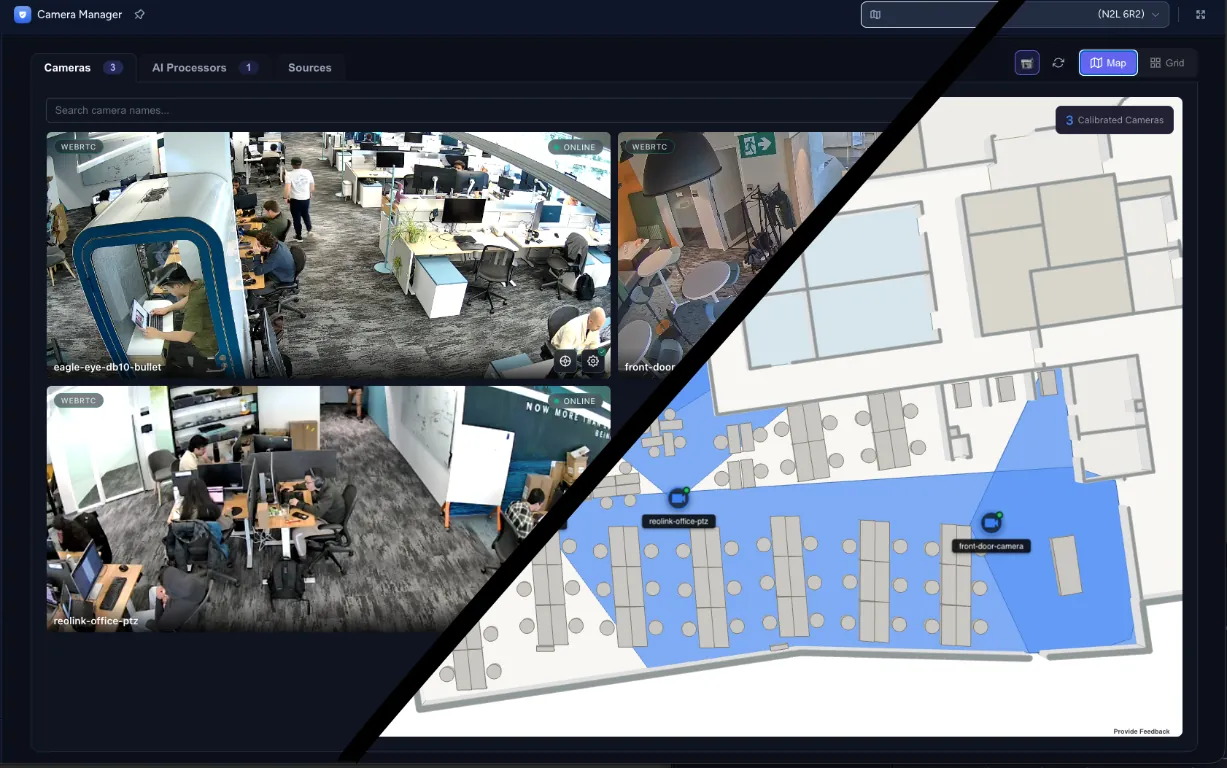
Camera feeds and video management, placed where each camera points.



Door events, guard tours and incidents, each on the right floor.



A custom connector, a custom database, or Microsoft Office and Excel data.



Not on the list? Build a custom connector with the Mappedin API.
See the Map SDKData connectors link your existing business systems or third-party data feeds directly to your Mappedin map. Once authenticated, your data flows in and can be visualized as a live layer on the map using our headless CMS.
Anything with a location: occupancy counts, foot traffic, asset locations, sensor readings, camera feeds, transit and flight data, weather conditions and more. If it has a place on your map, it can be connected.
You can build a custom connector using the Mappedin API to bring in any data source, even if it’s not part of the pre-built library.
Mappedin’s platform is built for fast rendering regardless of data size, including streaming data from security and video management systems, so your map stays responsive no matter how much data is flowing in.
Yes. All data is encrypted in transit and at rest. Data is stored on encrypted volumes using AES-256 encryption, and in transit it is protected using the industry-standard TLS 1.2 protocol.
See how Mappedin helps you visualize the information that drives your business.